# Maps as Political Instruments: How Citizens Fight Back
Maps function as instruments of political power, shaping which populations gain voting access, infrastructure investment, and public resources. Politicians and urban planners use cartography to control narratives about territory, development, and community priorities. The distribution of transportation routes, schools, and municipal funding follows mapped boundaries that often reflect historical inequities and entrenched political interests.
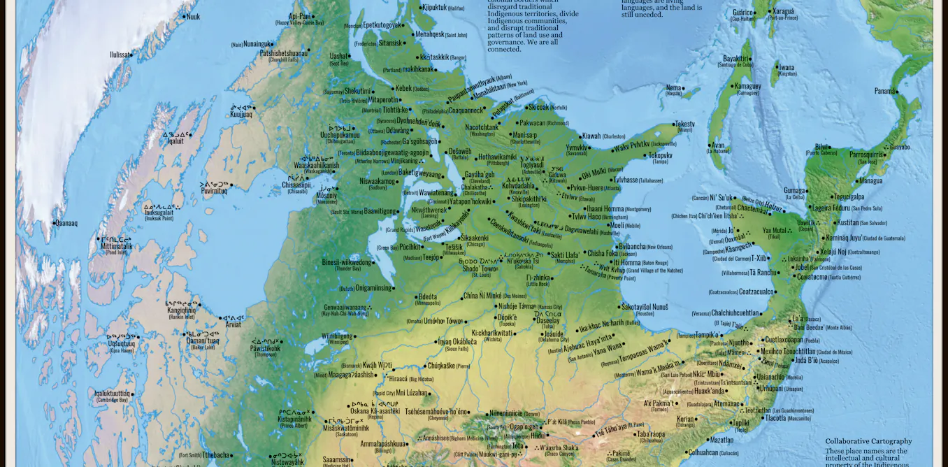
Counter-mapping represents a grassroots response to this power dynamic. Everyday citizens and advocacy groups create alternative maps that document overlooked communities, highlight disparities in resource allocation, and reclaim narratives typically controlled by elected officials and government agencies. These maps challenge official versions by centering local knowledge and lived experience.
Redistricting offers a concrete example of mapping's political weight. Legislative districts determine which voters hold power, which communities receive representation, and which areas attract campaign investment. Gerrymandering manipulates district boundaries to concentrate or dilute voting strength along partisan lines. Maps literally redraw the rules of democratic participation.
Urban planning maps similarly embed political choices. Decisions about where transit systems extend, which neighborhoods receive investment, and how public space gets allocated shape opportunity and inequality. Historically marginalized communities often find themselves mapped for disinvestment while wealthier areas receive infrastructure priority.
Counter-mapping empowers communities to document their own priorities and challenge official narratives. Residents create maps showing food deserts, pollution hotspots, or unmet transit needs. Activists map voter suppression strategies or environmental racism. These alternative cartographies make visible what government maps ignore.
The battle over maps reflects deeper struggles over whose vision shapes public policy and whose interests guide governance. Official maps present themselves as neutral representations of reality, masking the political choices embedded in them. Counter-maps expose those choices and offer competing visions.
Control of cartography matters because maps influence how policymakers allocate resources, how voters understand